

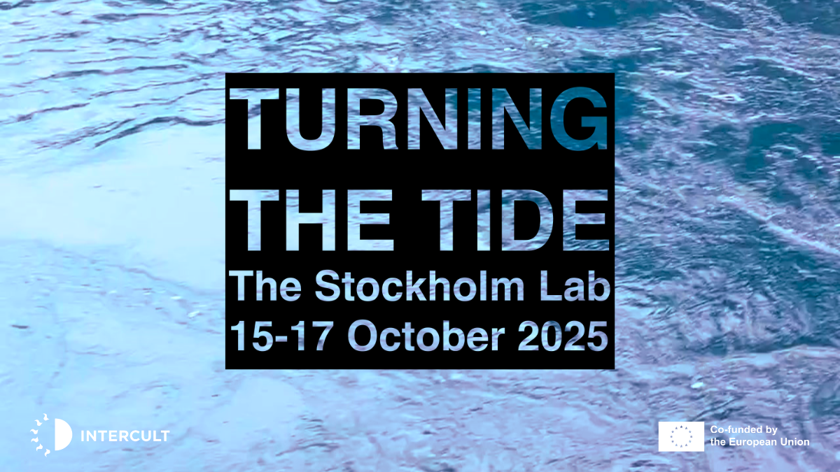
Turning The Tide
About the project
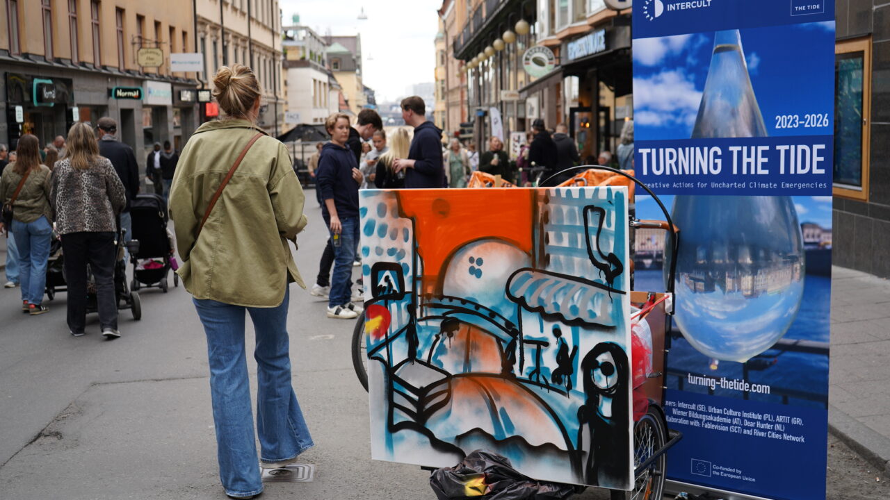
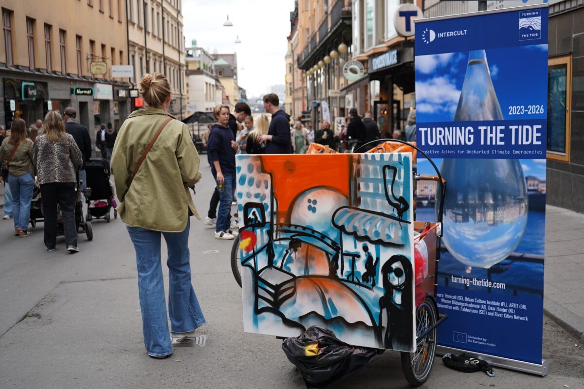
Turning the Tide (TTT) is a transformative European cooperation project, co-funded by Creative Europe, dedicated to exploring and addressing the pressing issue of climate change through the lens of artistic and cultural practices. Our project spans across four European cities, each facing unique challenges related to climate change, particularly in waterfront zones. We are a collaboration of diverse organizations and experts from various fields, united by a commitment to creating impactful and sustainable change through creative and cultural interventions.
The biggest challenges or “wicked problems” of the 21st century are conflict and climate change – inextricably linked and desperately in need of new creative approaches as we hurtle towards planetary self destruction. Turning the Tide partners and academic collaborators recognise that we’ve been trying to tackle all the ‘wicked problems’ in isolation: instrumentally and scientifically within ever more distinctive categories – requiring ever more complex solutions. Our approach is to start from simplicity with the question of what kind of world do we want to live in? Starting from there, questions of sustainability, climate justice, carbon offsetting, and just transition are answered automatically. Our theoretical framework is cultural planning and we reference Patrick Geddes and holistic approaches in planning theory as well as sociological, ontological and anthropological perspectives.
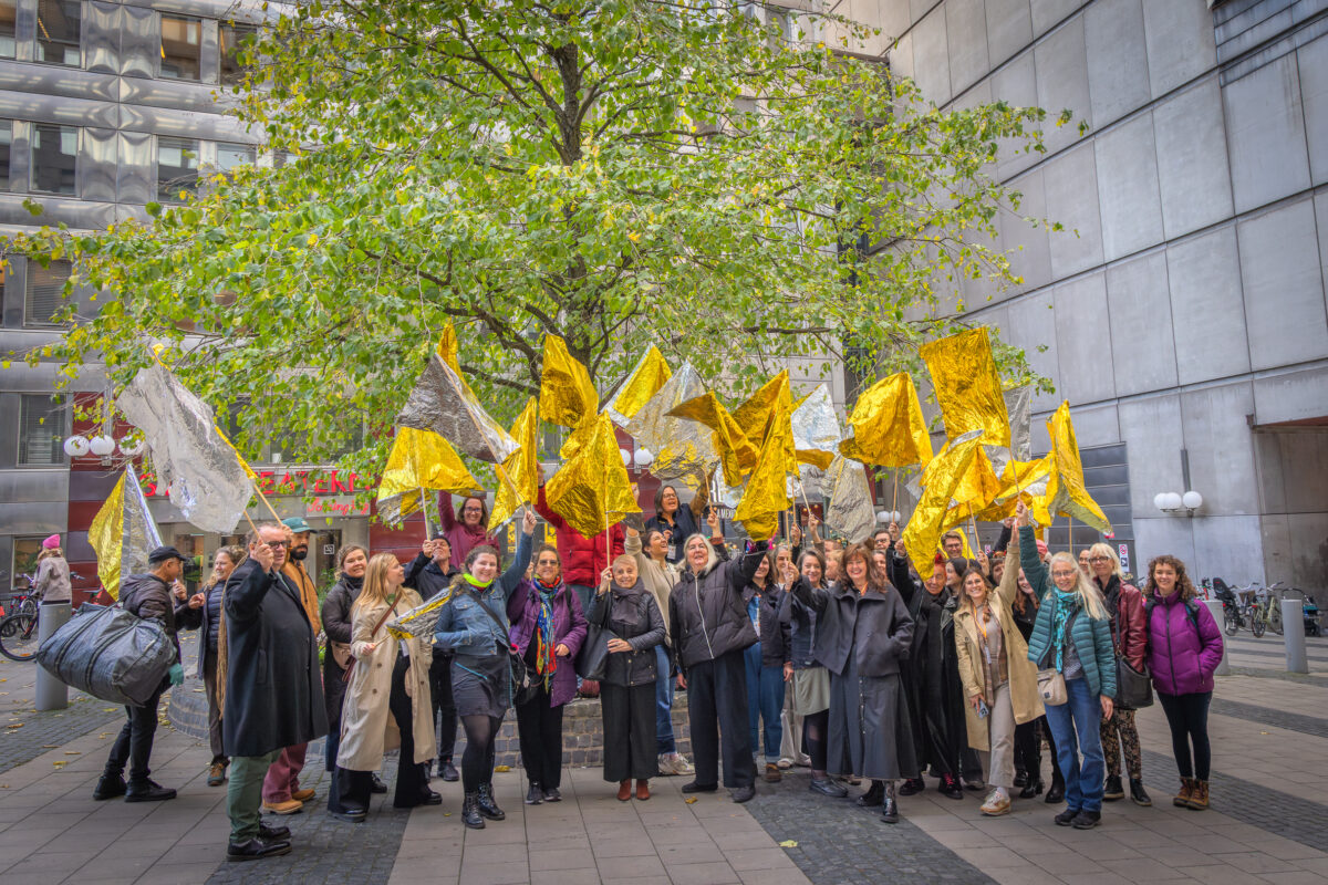
Our methodology is socially engaged creative practice as we know that artists bring clarity, simplicity and new ways of looking at the world. Artists work on subliminal levels – touching, moving, inspiring emotions, communicating complex theories and arguments in accessible ways and unlocking deeper levels of understanding. This knowledge, approach and practice is the reason for Turning The Tide. Even as we face the 11th hour in our journey towards global climate destruction we believe that artists working with local people can influence planners, politicians, governments and decision makers to step back from the brink and rediscover a future that respects all of it – with no one and nothing left out.
The TTT project includes 5 partner countries – Intercult (Sweden), Artit (Greece), Vienna Education Academy (Austria), Dear Hunter (Netherlands) and the Urban Culture Institute (Poland) in collaboration with Fablevision (Scotland) and the River//Cities Network.
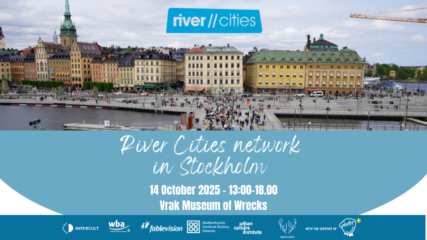
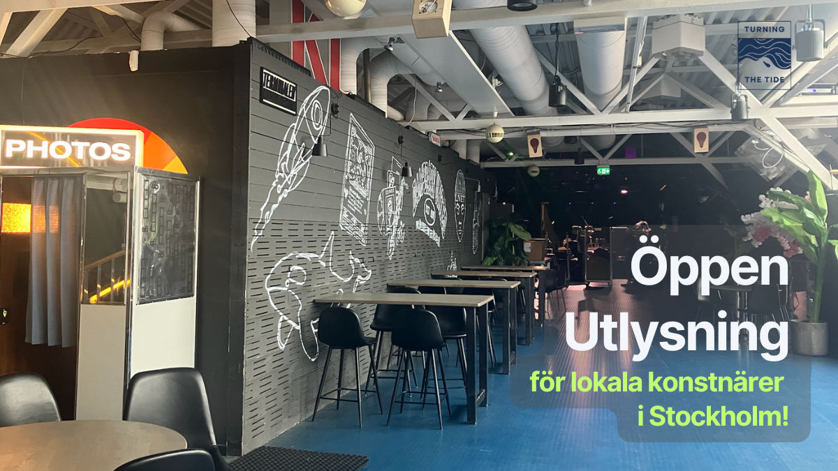
Read more about the challenges in Stockholm on the project's website.

Disclaimer
FUNDED BY THE EUROPEAN UNION. VIEWS AND OPINIONS EXPRESSED ARE HOWEVER THOSE OF THE AUTHOR(S) ONLY AND DO NOT NECESSARILY REFLECT THOSE OF THE EUROPEAN UNION OR CREATIVE EUROPE. NEITHER THE EUROPEAN UNION NOR THE GRANTING AUTHORITY CAN BE HELD RESPONSIBLE FOR THEM
Project partners

Sweden
Austria
Greece
Instytut Kultury Miejskiej
Poland
Netherlands
In collaboration with:
Fablevision Scotland
River//Cities network
Austria
